REAL Scenario 1 final demonstrations performed with Sharper A6
- Complete the EGNOS Navigation and Surveillance System (NSS) integration into Sharper A6 RPA;
- Perform test and validation flights to verify the proper communication between involved equipment; and
- Conduct final demonstration flights.
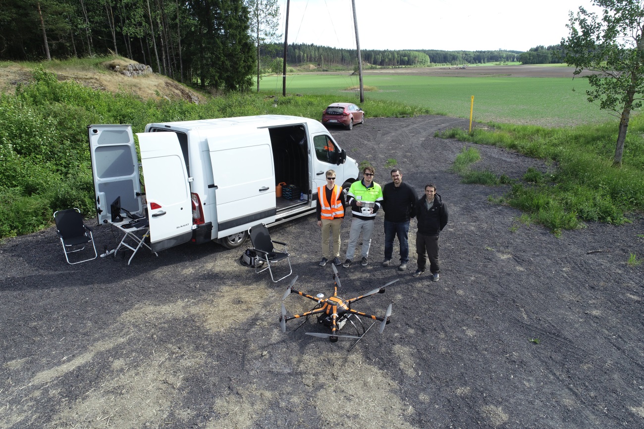
For this purpose, Josep Montolio (Pildo Labs) and Santi Vilardaga (Pildo Labs) moved to Espoo from 11th to 14th of June 2018, and worked together with Sharper Shape team: Lasse Korpela and Jaakob Lidauer. Daniel Viaño (Pildo Labs) offered technical support through teleconference during the mission.

Jaakob Lidauer commanding the Sharper A6
During the first day, it were conducted the tasks related to the NSS integration into Sharper A6. Among others, these were some of main tasks developed:
- Integrate into the Sharper A6 RPA all the hardware components: NSS Box, GNSS antenna, wires, etc.
- Test the good performance of NSS Box once integrated into the RPA.
- Establish the communication link between NSS Box and the RPA’s autopilot (Pixhawk).
- Test the guidance algorithm running inside NSS Box.
Thanks to the experience acquired during the project, and a good collaboration between partners, integration tasks were accomplished with no major drawbacks.
During the second day, initial test and validation flights were conducted in a rural area of Kirkkonummi, located at 26 km from Helsinki. The area, crossed by a power line, is a well-known space where usually Sharper Shape performs test flights.
Taking into account the environment for the flights activities, three different procedures were designed:
- Short procedure: This procedure was designed with the aim to preserve the safety of the operation during the first validation flights. This short procedure kept the RPA close to the HOME point. Hence, the RPA would stay close to the remote pilot in order to visually detect potential failures.
- Long procedure: This procedure was designed taking into account larger leg segments than the previous one, aiming the drone to reach higher speeds and behave as it should do on normal operations.
- Inspection procedure: Finally, this procedure was designed aiming to reproduce a typical power line inspection procedure used by Sharper Shape, by defining procedure legs following power lines in both directions, with 20m of lateral separation.

Routes flown in Kirkkonummi rural area
Various flights (conducting the short/long procedure) were performed during the second day in order to validate the whole system. Minor issues were found and solved the same day. Then, during the third day, the final demonstration flights were performed using different speeds in order to analyze the guidance algorithms response and to determine the maximum FTE in each case. Additionally, a GNSS signal recorder device was installed as payload into the RPA during some flights, bringing the opportunity to replay the GNSS signals received by the RPA and test other GNSS receivers (which were not on-board the RPA) with different configurations to perform comparisons between different positioning solutions.
Finally, last mission day was used to gather the logged data files and debrief about the campaign. All participants agreed on the good performance of the system, while highlighting a notorious improvement in turn deviations, thanks to NSS upgrades implemented since previous flights. Hence, it is expected to obtain better results than last campaigns, fulfilling the RNP 0.02 navigation specifications. This assumption will be proven through the analysis of the recorded data in the following days.