One year after GAVIOTA’s take-off

GAViOTA project started in September 2018, one year ago, with the purpose of developing a concept of operations and the necessary technical solutions to manage and monitor drone operations in coordination with surrounding flying bodies that could cause a conflict situation.
In line with the proposed schedule, multiple tasks have been conducted during this first year.
- CONOPs development: In order to demonstrate the effective benefits and the applicability of GNSS augmented services like EGNOS to drones, the first step of the project was to develop a Concept of Operations which could be used as the basis to develop the specific requirements for EGNOS use in support of drone operations at VLL. The scope of this document was therefore to define a generic Concept of Operations for drones flying in BVLOS at VLL that could benefit from EGNOS to improve their surveillance and navigation performances and thus better fulfil the regulatory requirements promulgated by National Aviation Authorities.
- Risk Assessment – Applying SORA methodology: With the aim of identifying and assessing potential events that could negatively impact the drones operations conducted in the framework of the project, a risk assessment was drafted. An initial version was developed taking into account any drone operation conducted in the framework of the generic CONOPS.
- NSS design & development: In order to meet the project objectives and the mission requirements defined in CONOPs, the Navigation and Surveillance System (henceforth NSS) was designed and developed, based on GNSS and EGNOS, while including a surveillance system based on ADS-B and 4G. The first prototype has been developed.
- Detection Node design & development: To detect non-cooperative traffic flying in the drone operation area, the Detection Node has been designed and developed. This is a ground system equipped with visual and auditive sensors, using neural networks to process data for traffic identification. Once the first prototype had been developed, it was tested in Atlas Flight Center (Jaén) while a flight demonstration was being conducted in the same airspace.
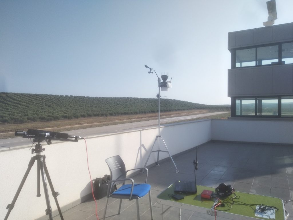
Detection Node deployment during ATLAS flight demonstrations
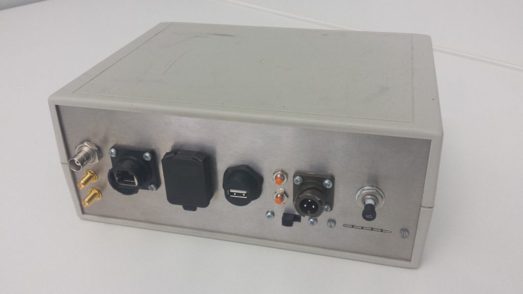
Navigation and Surveillance System prototype
Partners
The project is carried out by a consortium formed by the aeronautical engineering companies Pildo Labs Galaica, Pildo Labs, and the Advanced Center for Aerospace Technologies (FADA-CATEC).
Financing
GAViOTA project is framed into the call ‘Retos de Colaboración 2017’ of the Spanish state programme for research, development and innovation oriented to societal challenges, within the framework of the State Plan for Scientific and Technical Research and Innovation, 2013-2016.
The project is funded by the ‘Ministerio de Ciencia, Innovación y Universidades – Agencia Estatal de Investigación – Proyecto RTC-2017-6515-4 ’.
